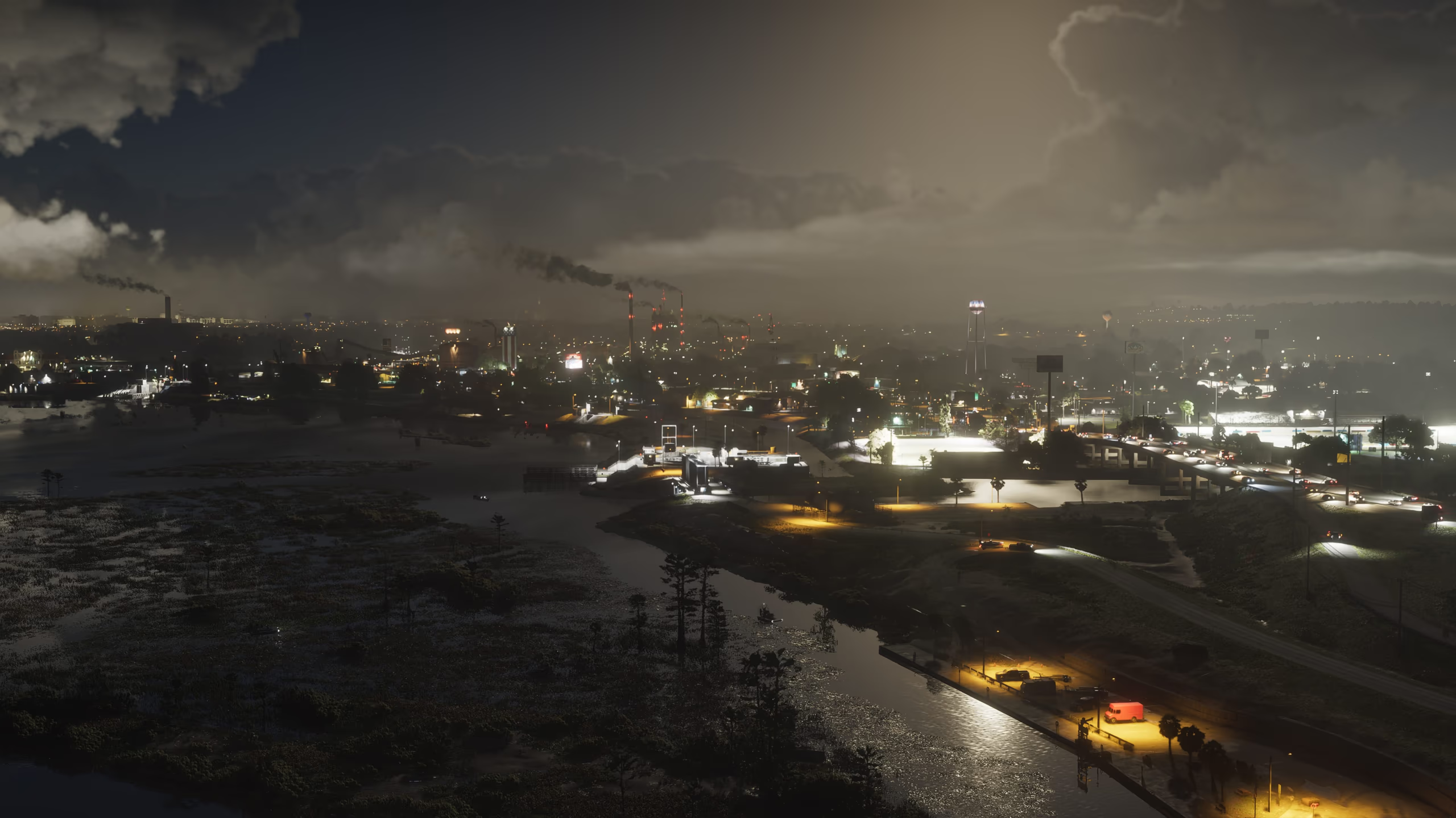
 BusinessDescriptive nameAmbrosia Industrial PlantLarge processing structures, conveyors, storage areas, and utility equipment dominate one of Rockstar's official Ambrosia images. The facility's formal name, products, ownership, enterable areas, and any work-related gameplay have not been announced.
Official Leonida atlas
GTA 6 Locations
Explore GTA 6 regions, districts, beaches, businesses, landmarks, roads, and natural areas using Rockstar imagery and clearly bounded descriptions.
30 reviewed locations14 in-depth profiles0 fan-map coordinates
Six regions, more places to discover
Tour regions, landmarks, venues, and natural areas
Different views of the same place stay together. Descriptive entries use visible settings or signage without inventing official names, functions, or coordinates.
Showing 30 of 30 locations
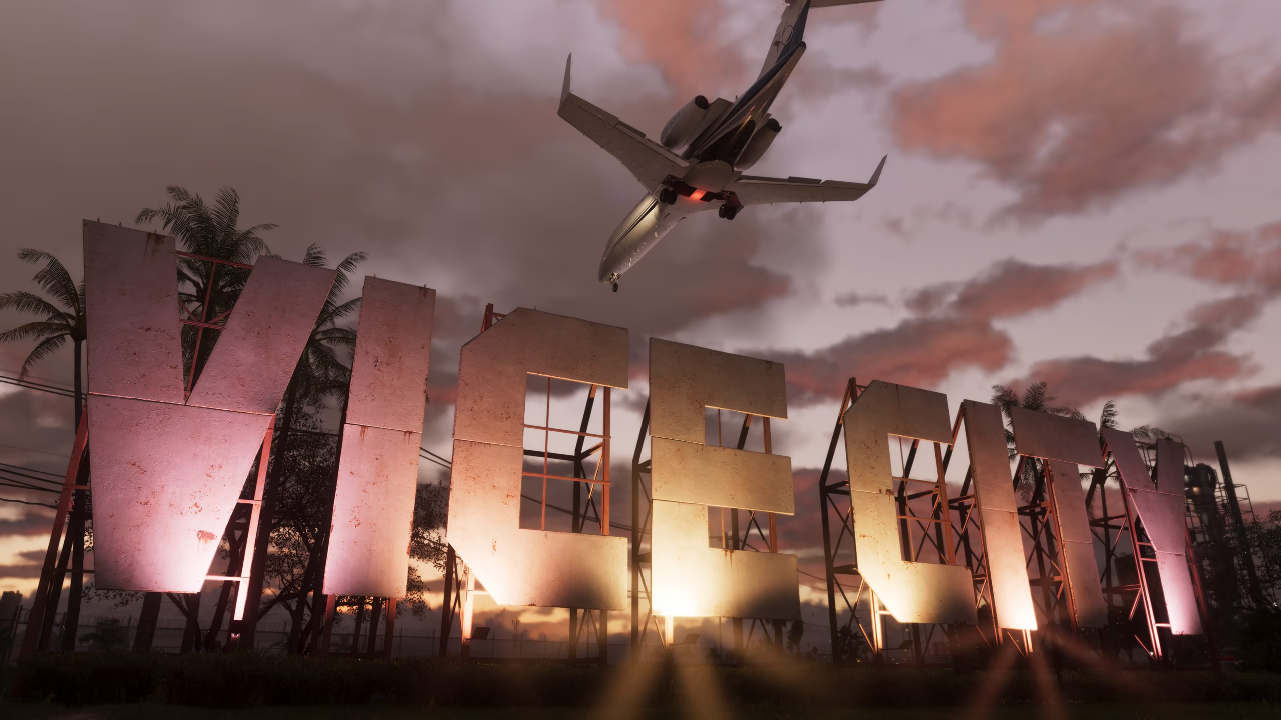 Official RegionOfficial nameVice CityVice City is GTA 6's neon-lit urban center, shown by Rockstar through beaches, dense streets, towers, nightlife, and waterfront scenes.Open profile
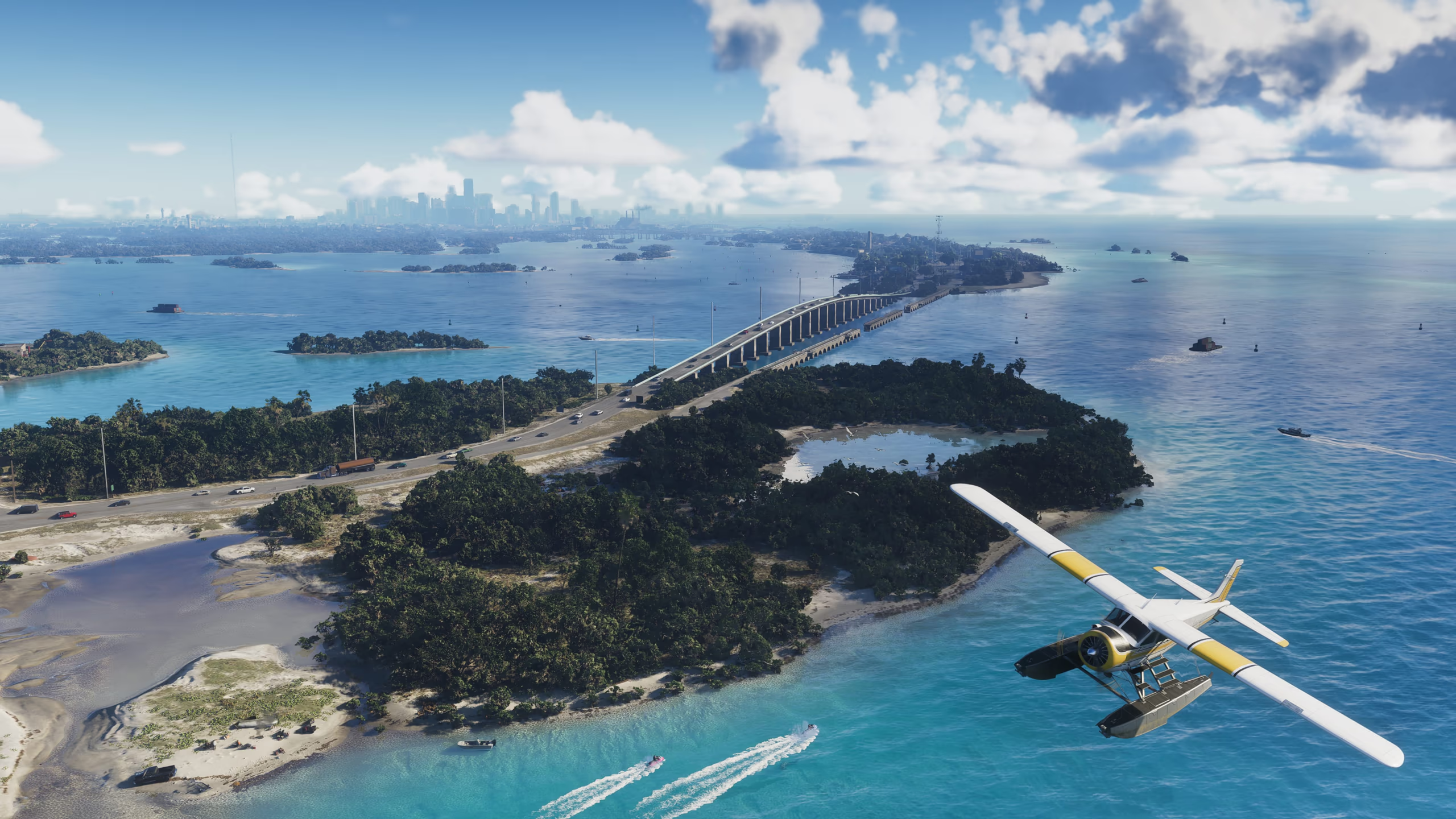 Official RegionOfficial nameLeonida KeysThe Leonida Keys are an official tropical region of islands, bridges, marinas, low-rise settlements, and open water south of Vice City.Open profile
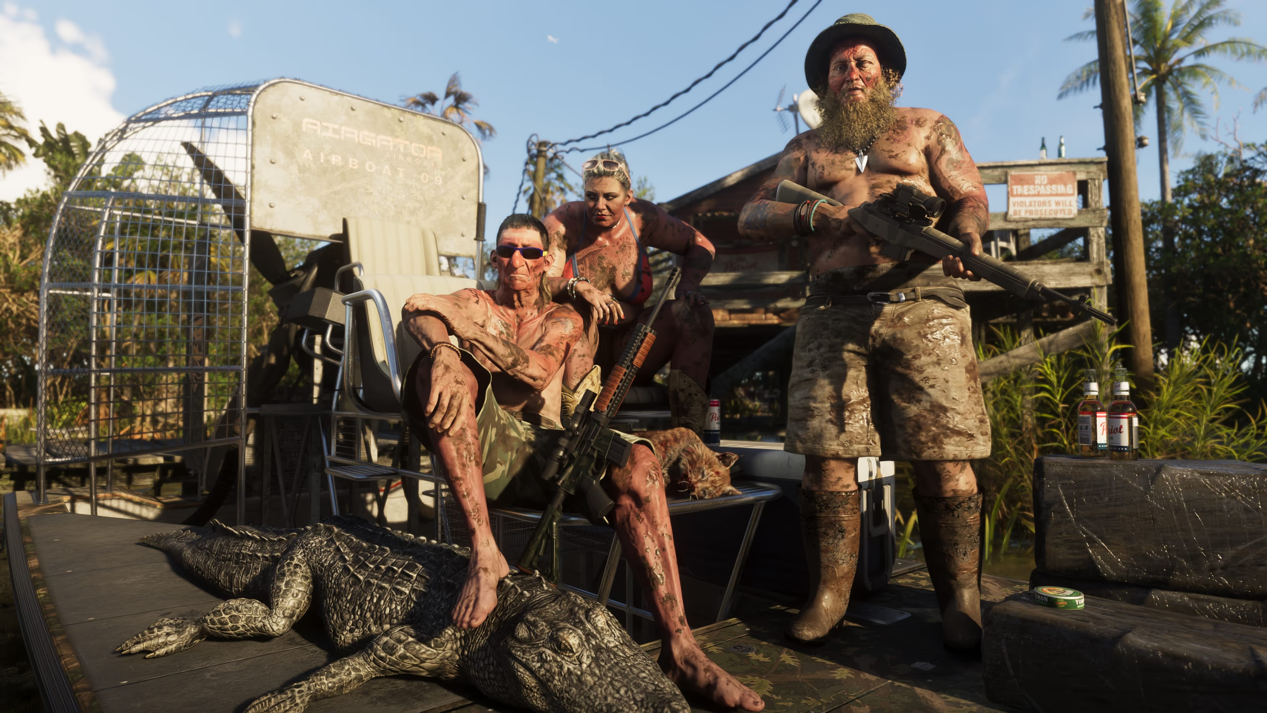 Official RegionOfficial nameGrassriversGrassrivers is Rockstar's official wetland region, depicted with shallow waterways, dense vegetation, airboats, wildlife, and isolated structures.Open profile
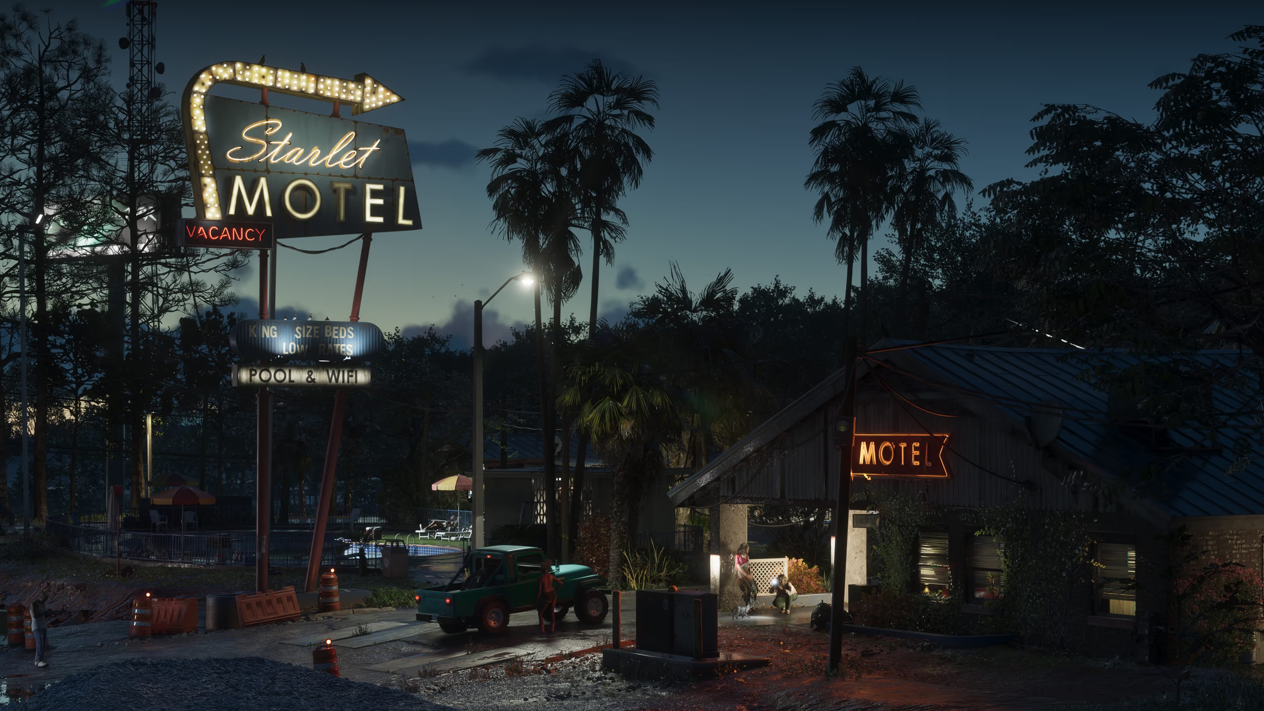 Official RegionOfficial namePort GellhornPort Gellhorn is an official Leonida region shown with weathered roadside businesses, motels, industrial edges, and a worn coastal-town character.Open profile
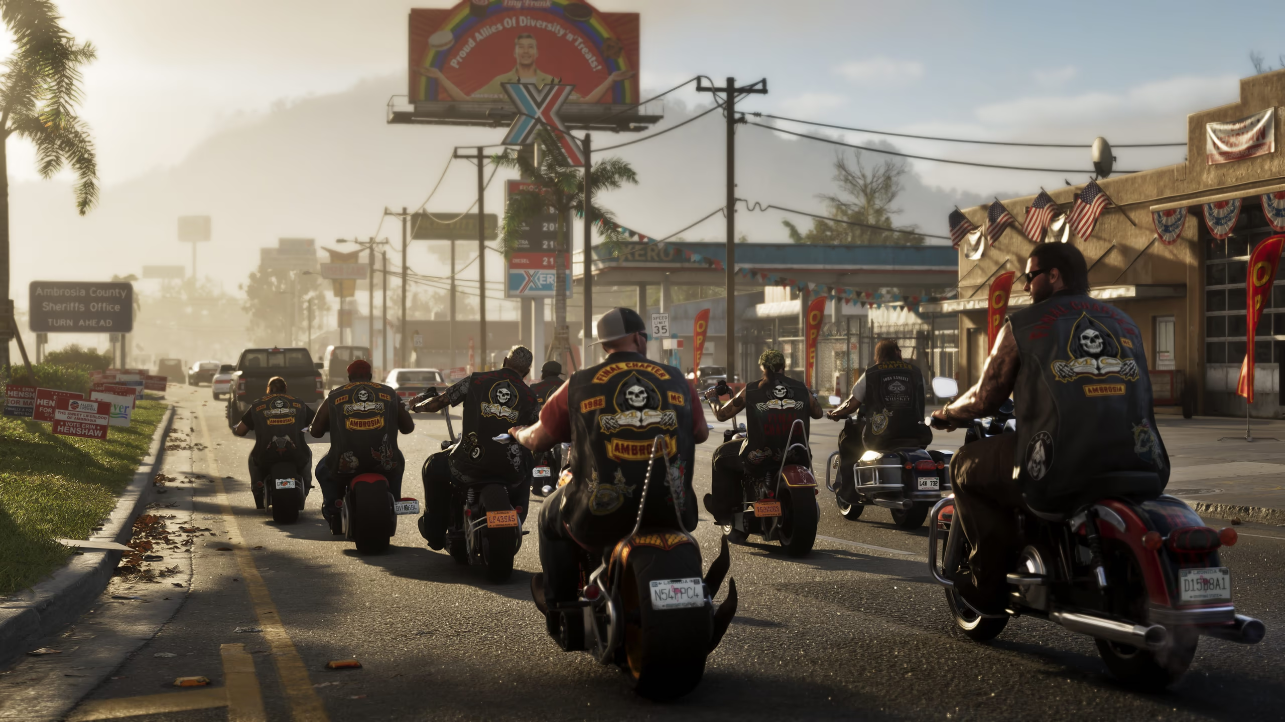 Official RegionOfficial nameAmbrosiaAmbrosia is an official Leonida region whose Rockstar images combine industry, highways, local commerce, agriculture, and small-town streets.Open profile
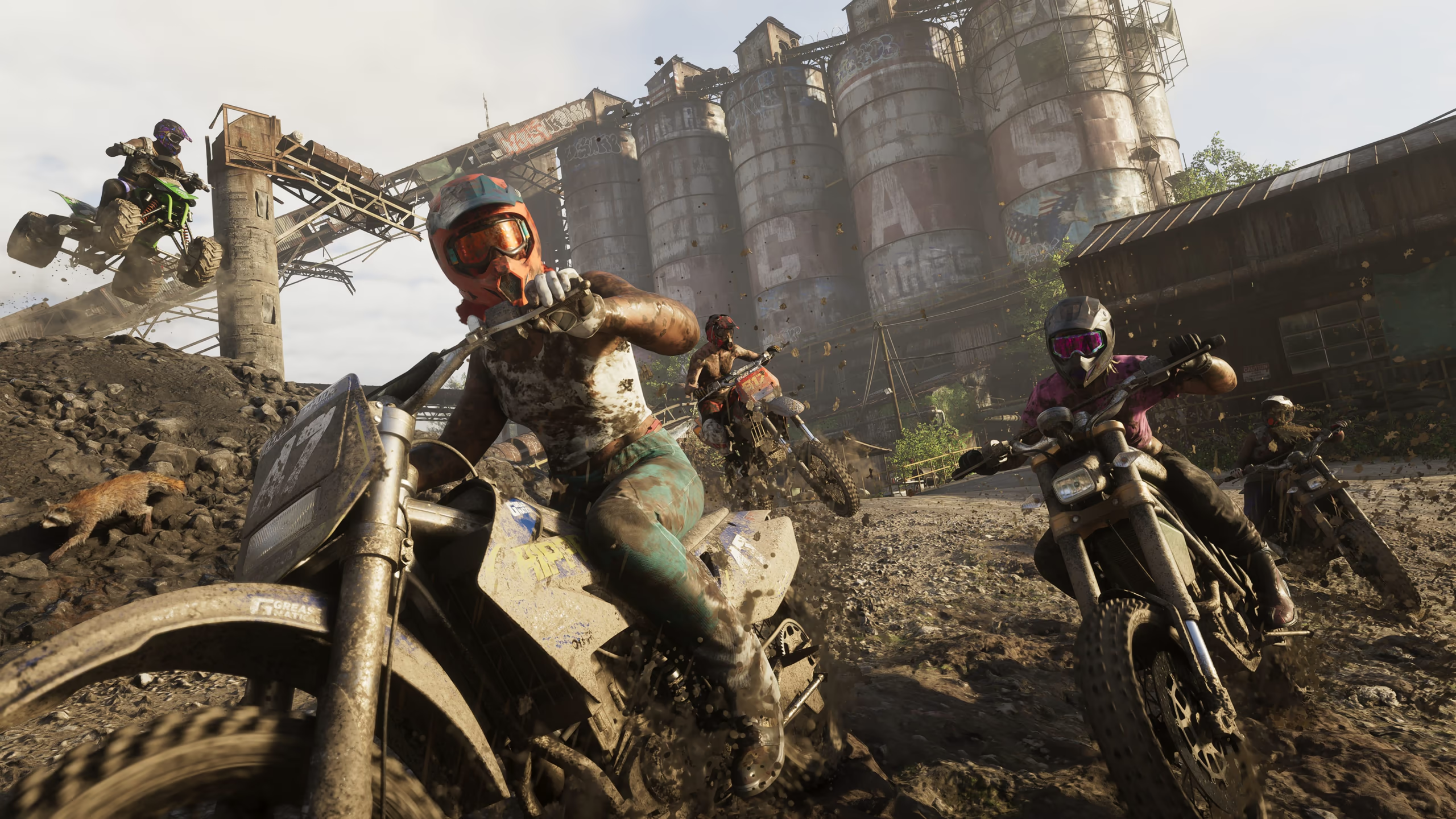 Official RegionOfficial nameMount KalagaMount Kalaga is the official mountainous wilderness region, shown through forests, rocky terrain, rivers, trails, and remote gathering places.Open profile
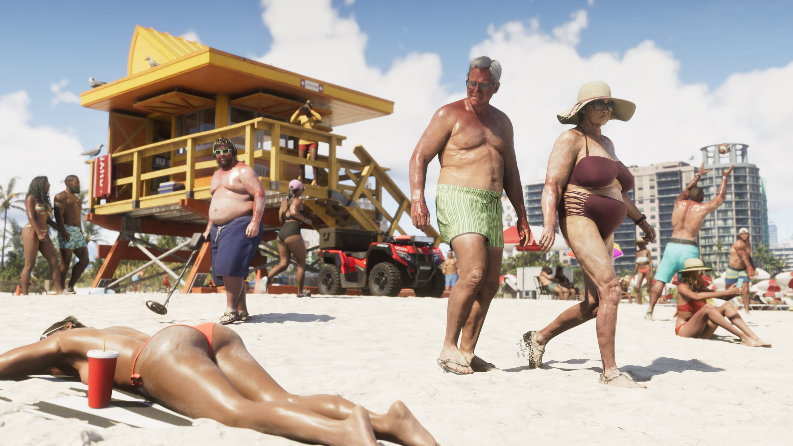 BeachDescriptive nameVice City BeachVice City's broad beachfront is shown clearly in Rockstar's official imagery, with sand, crowds, palms, towers, and water forming a distinct urban coastal setting. Rockstar has not published a separate district or beach name for this specific stretch.Open profileHotelDescriptive nameStarlet MotelThe Starlet Motel sign anchors one of Rockstar's clearest Port Gellhorn scenes, showing a weathered roadside property with exterior rooms and a central parking area. Its gameplay use and enterable spaces have not been announced.Open profile
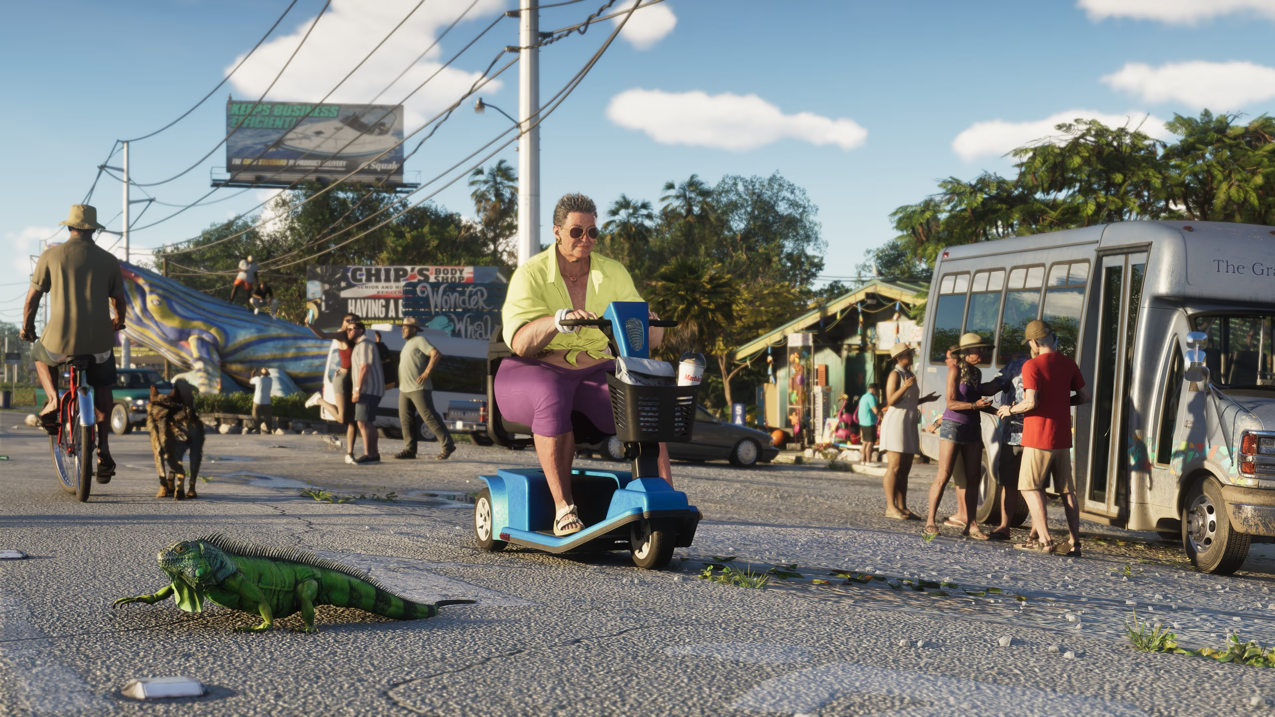 StoreDescriptive nameRusty Anchor Roadside MarketRusty Anchor signage marks a colorful roadside market in Rockstar's official Leonida Keys imagery. The open-front business, local decorations, and highway setting are clearly visible, while its interior access and gameplay function remain unannounced.Open profile
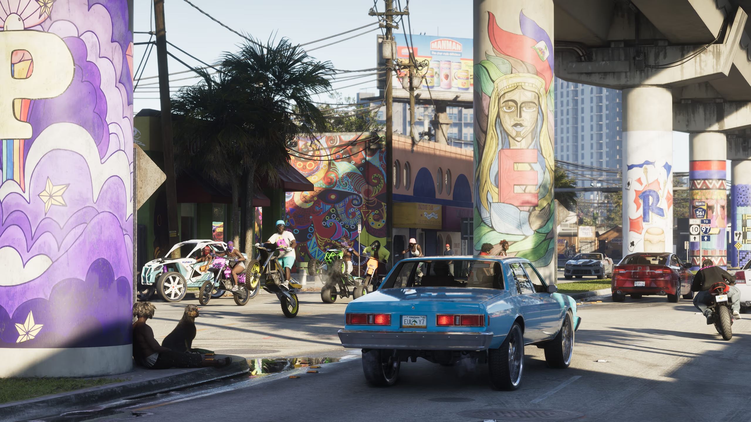 DistrictDescriptive nameVice City Art DistrictA colorful Vice City street lined with large murals, modified cars, low industrial buildings, and active sidewalks forms a distinct arts-oriented district in official Rockstar imagery. Its formal neighborhood name has not been announced.Open profileBusinessDescriptive nameAmbrosia Industrial PlantLarge processing structures, conveyors, storage areas, and utility equipment dominate one of Rockstar's official Ambrosia images. The facility's formal name, products, ownership, enterable areas, and any work-related gameplay have not been announced.OtherDescriptive nameAmbrosia Roadside GatheringRockstar shows a busy roadside gathering in Ambrosia with motorcycles, local signage, spectators, and a rural commercial backdrop. No event name, schedule, group affiliation, or repeatable activity has been announced, so the title remains descriptive.
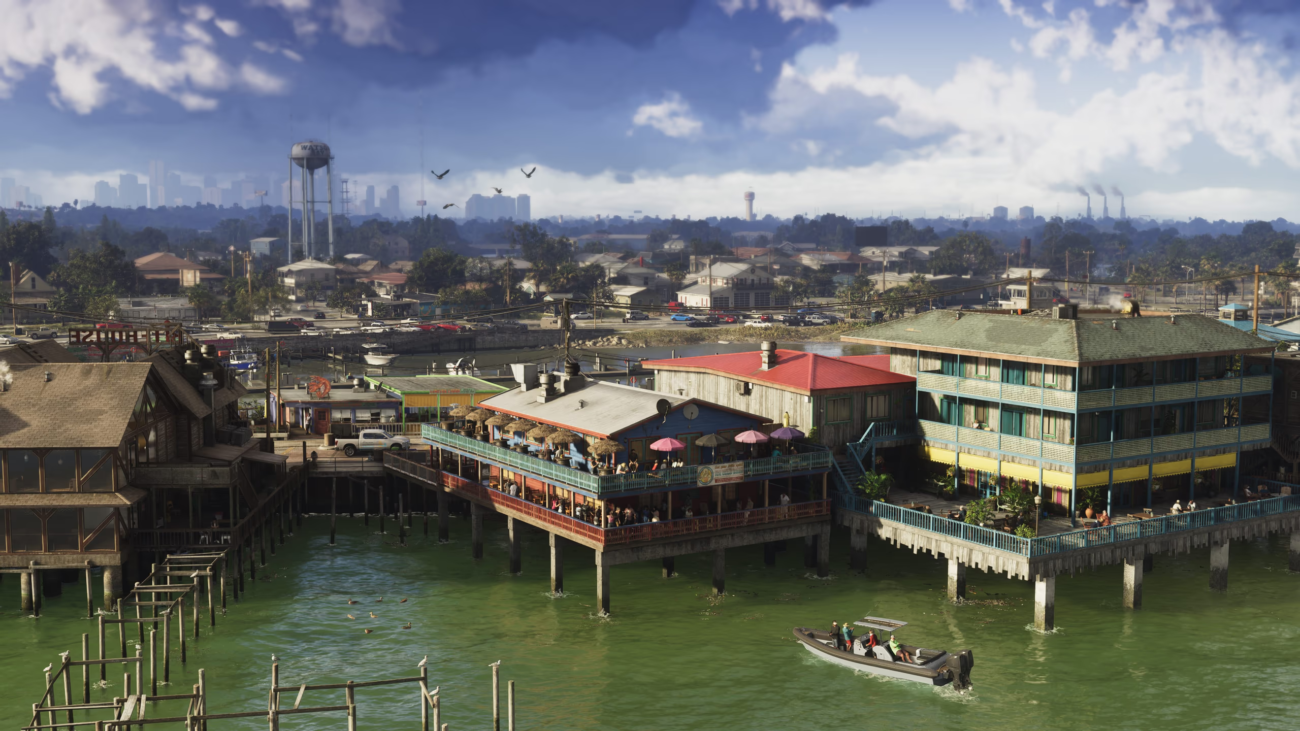 PortDescriptive nameGrassrivers MarinaA small marina and dock complex appears at the edge of Grassrivers in Rockstar's official imagery, providing a clear transition between settlement and wetland. Its name, services, boat access, and exact location are unannounced.
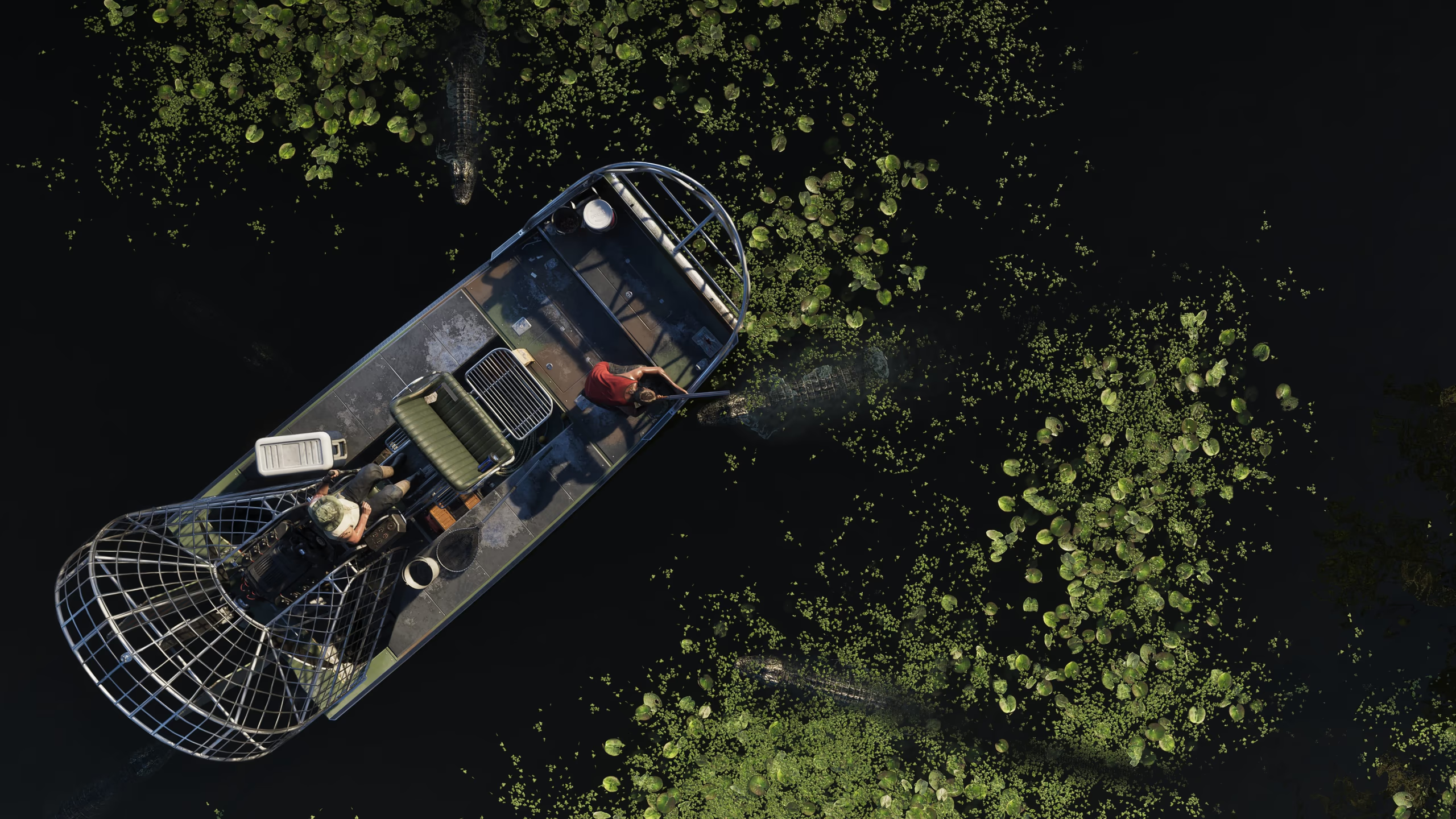 Natural AreaDescriptive nameGrassrivers Airboat ChannelA shallow channel cut through dense Grassrivers vegetation is shown with an airboat moving across the marsh. Rockstar has not named the waterway or confirmed navigation boundaries, activities, wildlife systems, or map coordinates.RoadDescriptive nameLeonida Keys CausewayA long causeway carries traffic between low islands in Rockstar's official Leonida Keys imagery. The road's formal route number, exits, length, map placement, and accessibility have not been published, so it is identified by its visible function.
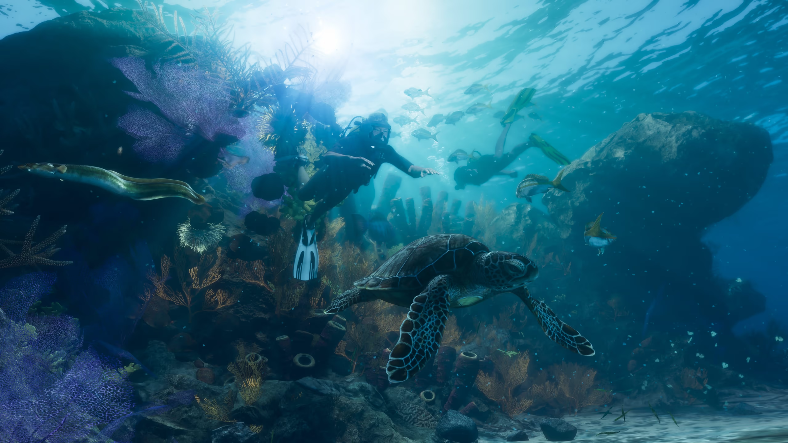 Natural AreaDescriptive nameLeonida Coral ReefClear water, coral formations, marine life, and swimmers distinguish an underwater scene in Rockstar's Leonida Keys gallery. The official name, precise position, dive mechanics, and accessible depth have not been announced.Natural AreaDescriptive nameMount Kalaga Quarry TrackA rocky open area with dirt bikes, steep cuts, and quarry-like terrain appears in Rockstar's Mount Kalaga material. No venue name, race activity, ownership, or exact park location has been announced.
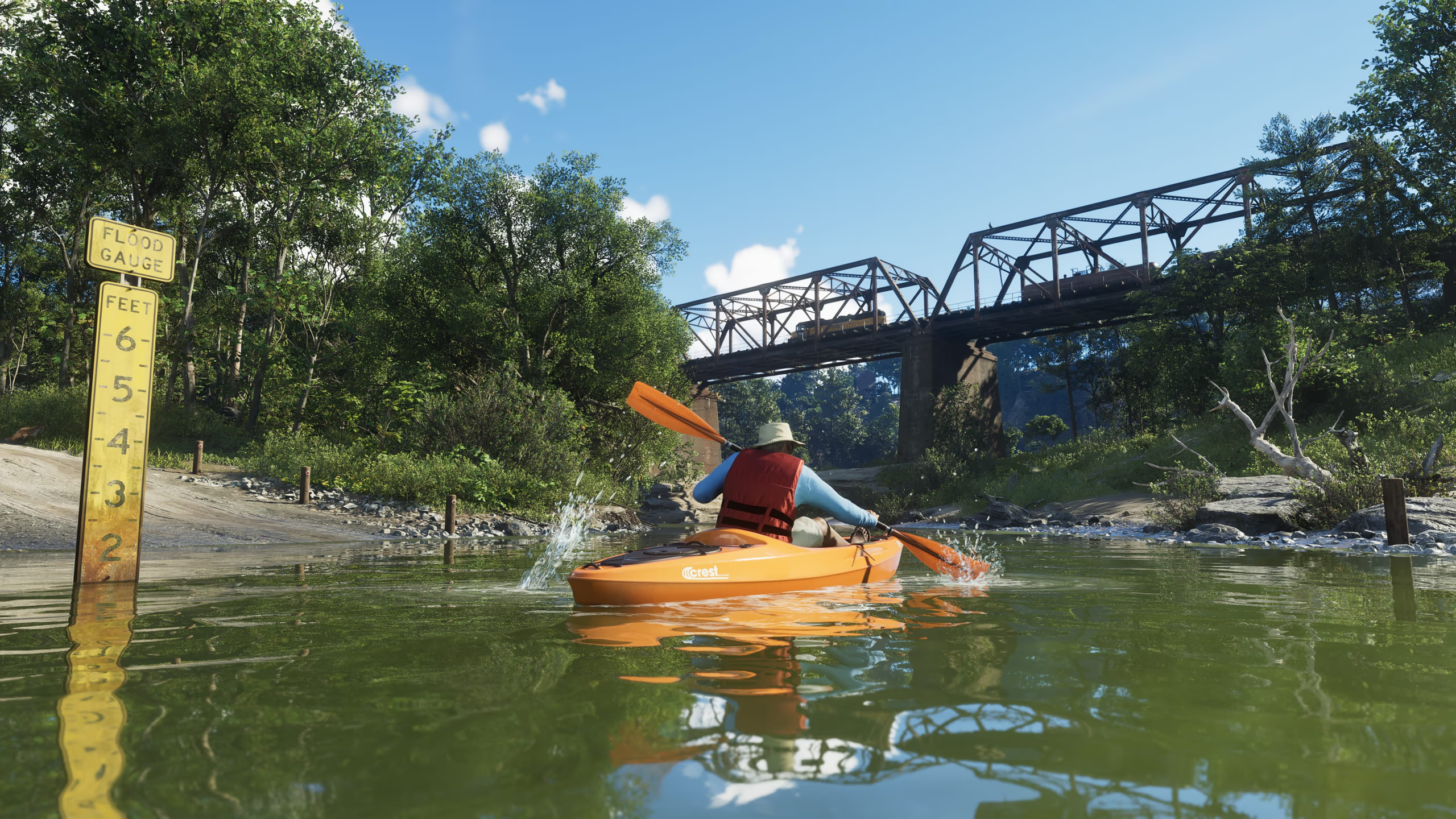 Natural AreaDescriptive nameMount Kalaga River CrossingRockstar's official wilderness imagery shows a broad river, forested banks, a bridge, and small watercraft beneath Mount Kalaga. The crossing and river have not received separate official names or confirmed activities.
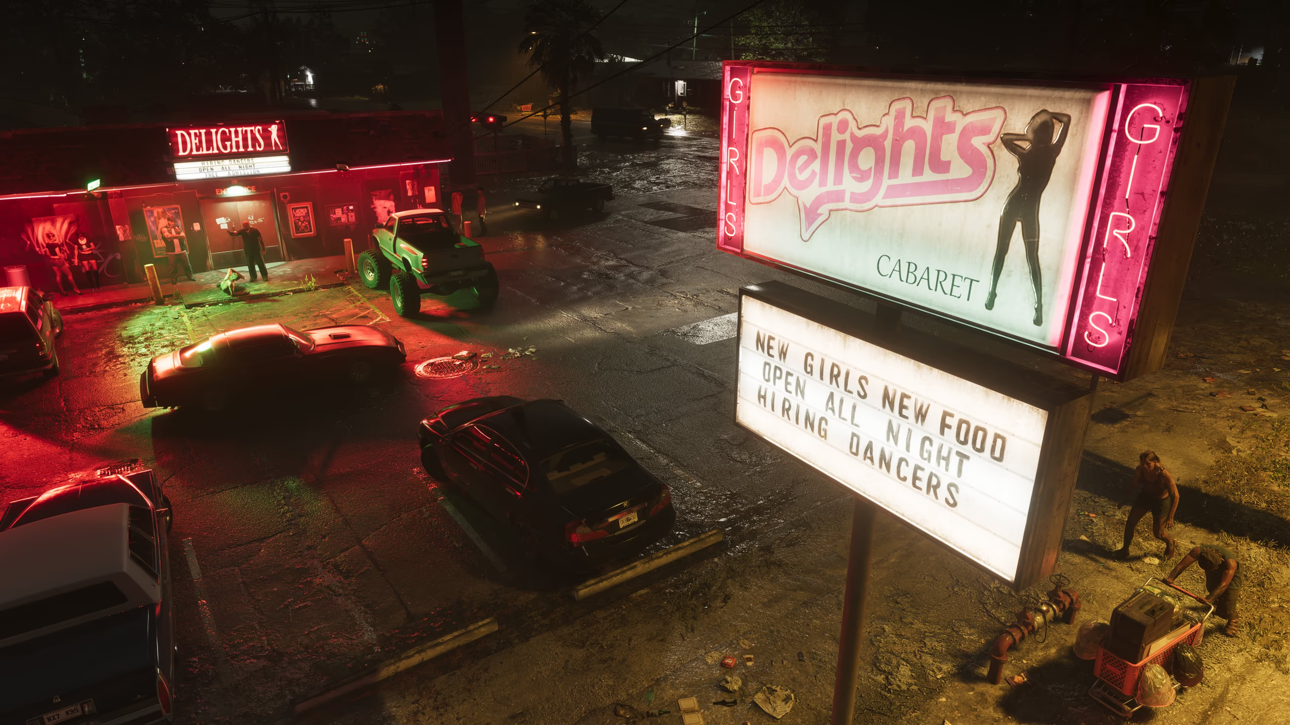 NightclubDescriptive nameRed Lights CabaretRed Lights Cabaret signage is clearly visible on a weathered Port Gellhorn nightlife venue in Rockstar's official screenshot set. Its interior, operating hours, ownership, entertainment, and story relevance have not been announced.
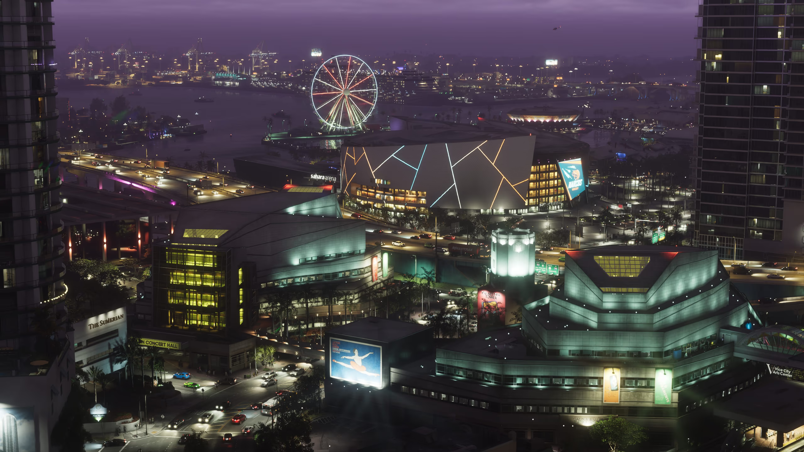 Entertainment VenueDescriptive nameVice City ArenaA large illuminated arena complex appears in Rockstar's official Vice City imagery with crowds, traffic, and a distinctive event-night atmosphere. The venue's formal name, events, enterable areas, and gameplay purpose remain unannounced.
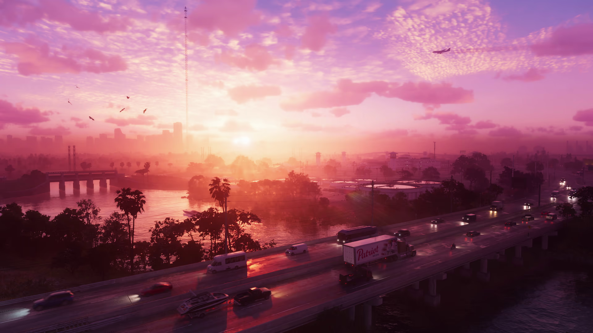 RoadDescriptive nameVice City Sunset InterchangeA broad multi-level highway crosses the Vice City waterfront at sunset in Rockstar's first trailer, carrying dense traffic past water, palms, towers, and an approaching aircraft. Its official road name, exits, route number, and map position have not been announced.
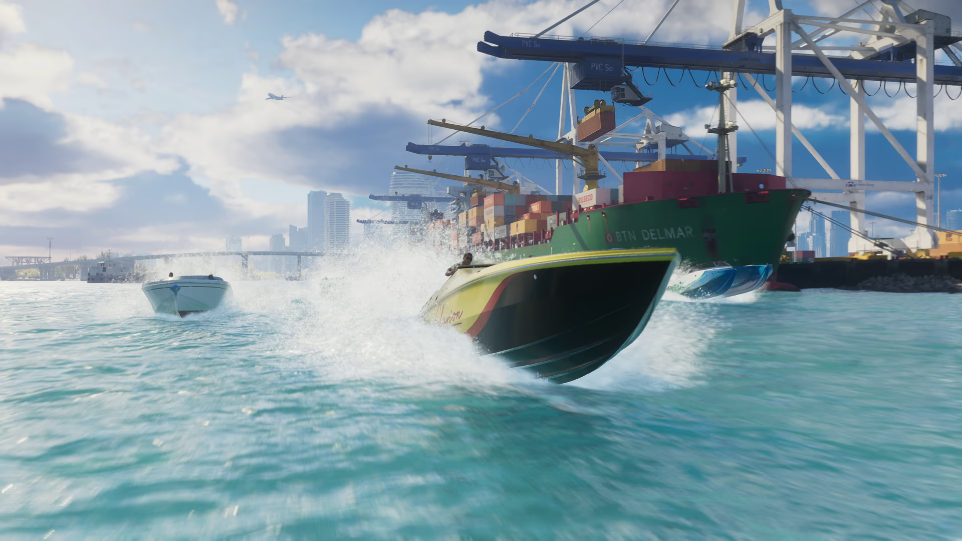 PortDescriptive nameVice City Container TerminalStacked containers, ship-to-shore cranes, a named cargo vessel, and active boat traffic form a distinct working terminal in official GTA 6 footage. Rockstar has not announced the facility's formal name, precise district, enterable areas, employment systems, or mission use.Open profile
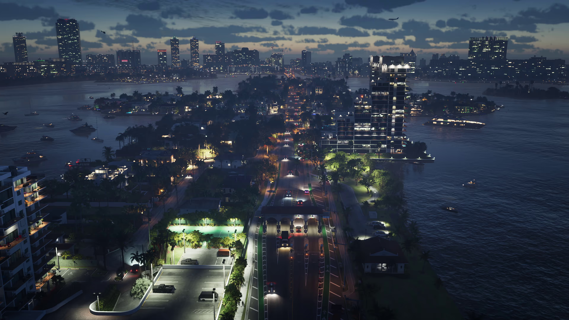 DistrictDescriptive nameVice City Waterfront IslandAn illuminated island of towers, roads, palms, and waterfront buildings appears in a wide nighttime Vice City aerial. The landform is visually distinct, but Rockstar has not announced its official district name, boundaries, bridges, properties, or map coordinates.
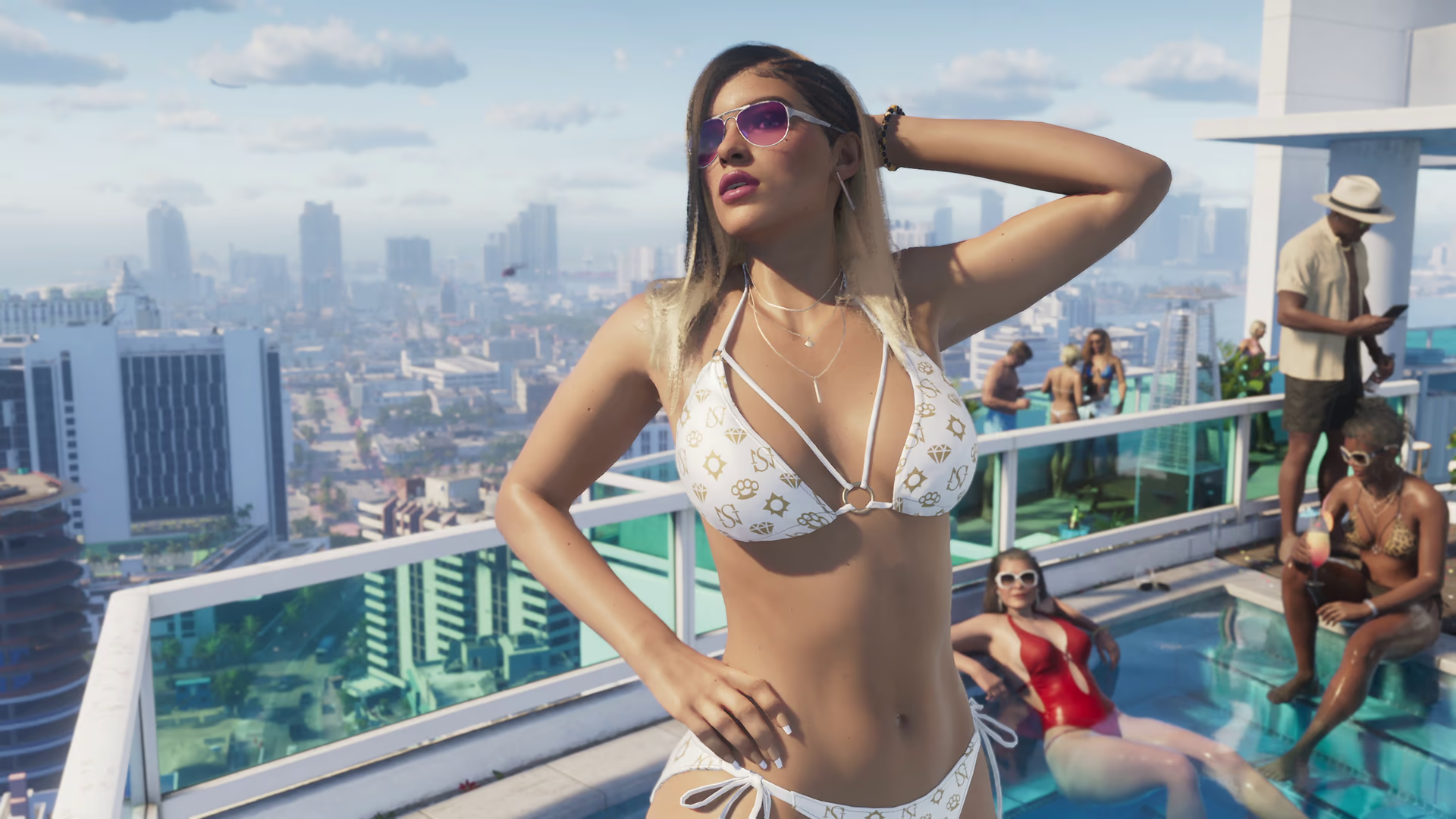 HotelDescriptive nameVice City Rooftop PoolA landscaped rooftop pool deck overlooks the Vice City skyline in Rockstar's first trailer, with loungers, palms, glass barriers, and social-media filming visible. The building, hotel, formal venue name, public access, and gameplay function have not been announced.Open profile
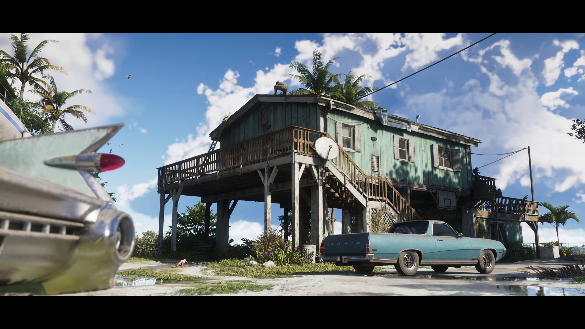 LandmarkDescriptive nameLeonida Keys Stilt HouseA weathered two-story stilt house stands beside bright Keys water in the opening of official Trailer 2, with exterior stairs, a raised deck, boats, and a classic convertible nearby. Rockstar has not announced its address, owner, interior access, or story function.Open profile
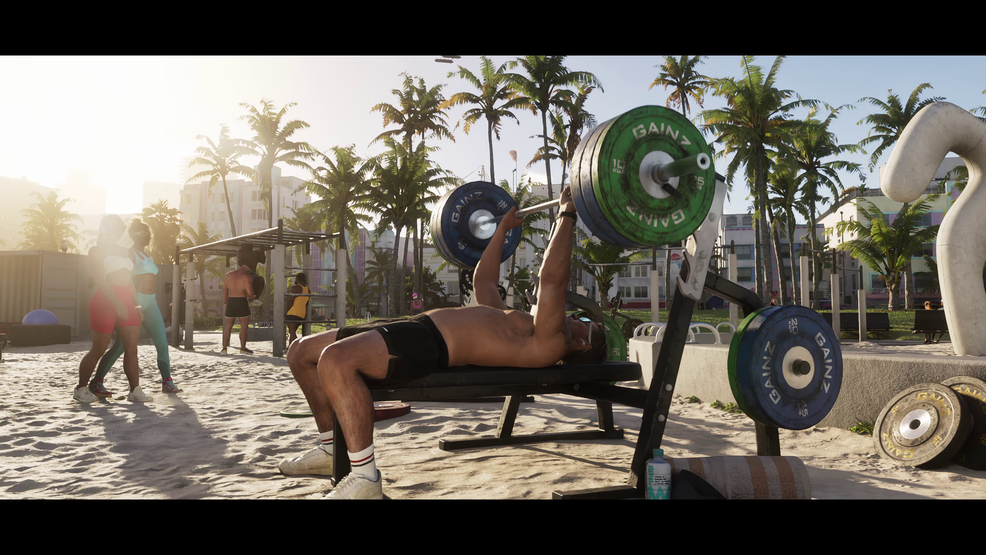 Entertainment VenueDescriptive nameVice City Outdoor GymA sand-covered outdoor training area with benches, free weights, exercise stations, palms, and multiple gymgoers appears in official Trailer 2 footage. Rockstar has not announced the venue's formal name, district, usable equipment, activities, or access rules.Open profile
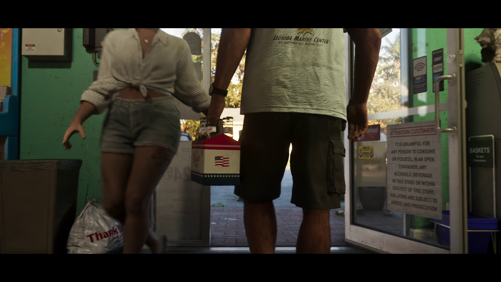 StoreDescriptive nameLeonida Convenience StoreA small green-fronted convenience store appears in official Trailer 2 footage as people pass through its doorway. The interior fixtures and entrance are visible, but Rockstar has not announced its formal business name, location, inventory, ownership, or broader gameplay function.
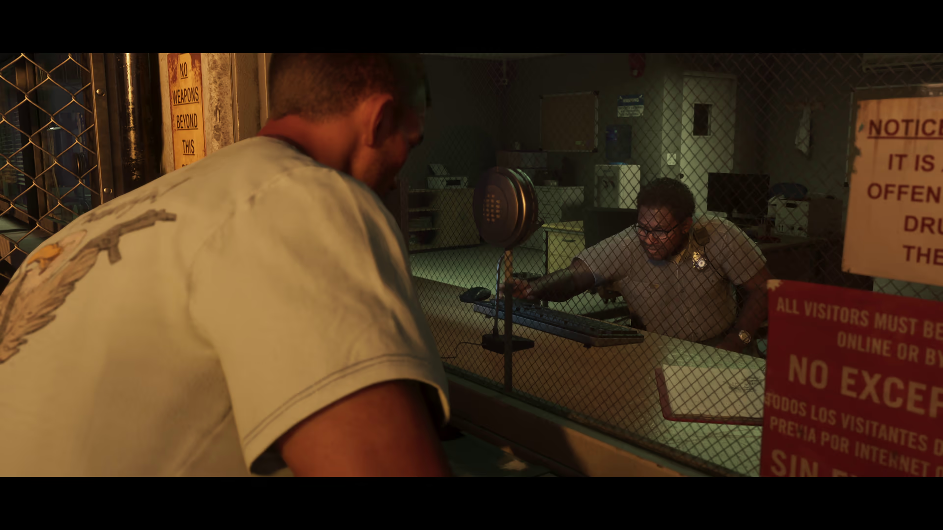 OtherDescriptive nameLeonida Penitentiary Visitation HallA secured visitor-processing area inside Leonida Penitentiary is shown with a counter, mesh partitions, posted rules, and staff in official Trailer 2 footage. Its formal room name, access outside the story, and any repeatable gameplay function have not been announced.
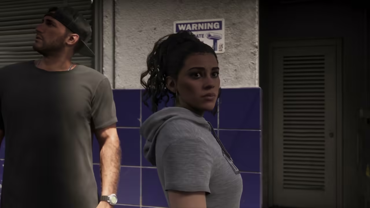 Named AreaOfficial nameBaysideJason and Lucia are explicitly said to be back in Bayside during a stash-search sequence in Rockstar's Extended Look. The video confirms the place name and immediate scene, but not the area's map boundaries, district status, or every activity shown in the following montage.
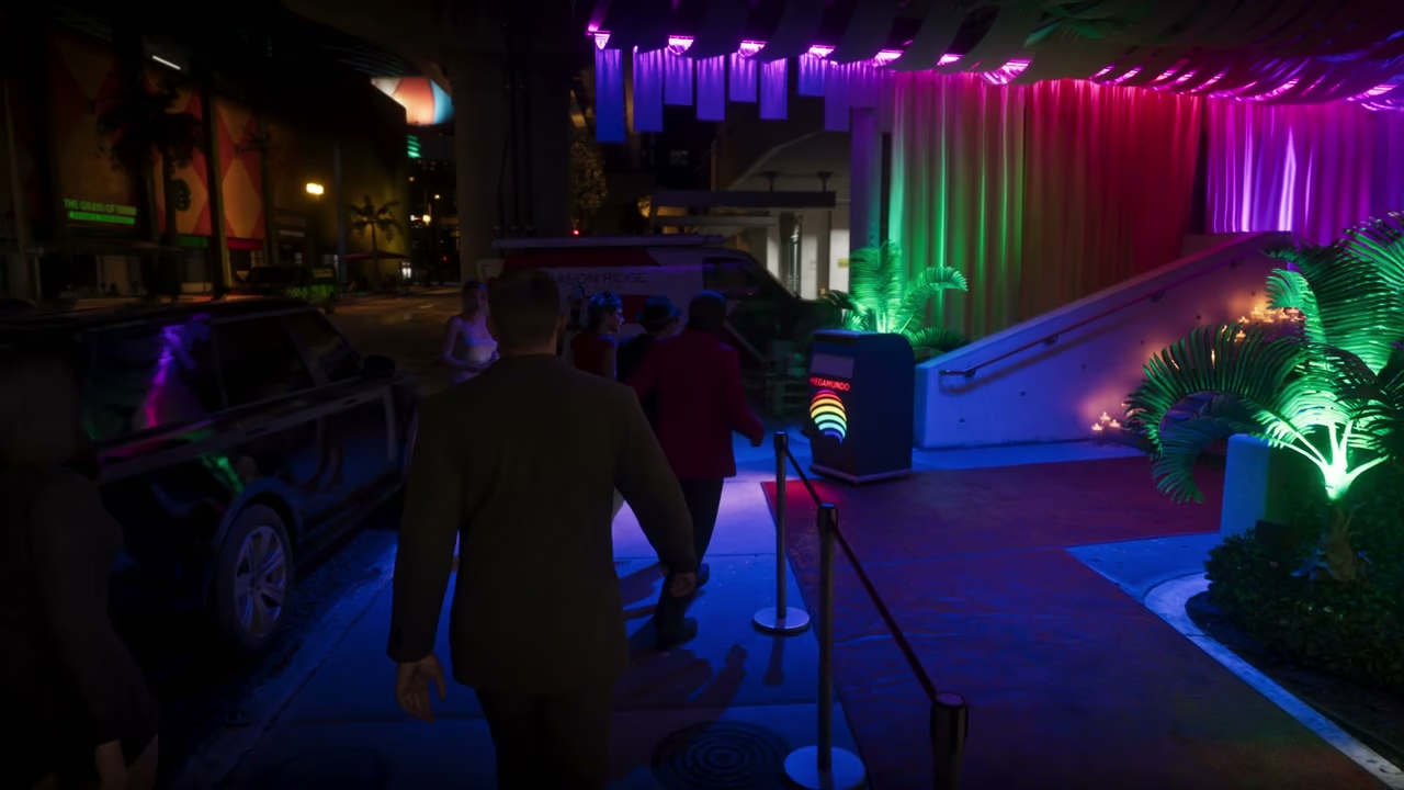 Corporate OfficeOfficial nameMegamundo Corporate HeadquartersVisible Megamundo signage and Rockstar's narration identify the building as the company's first corporate headquarters on American soil. The sequence confirms a named mission setting, not unrestricted access, a business-management system, or the building's full floor plan.